Hypack™
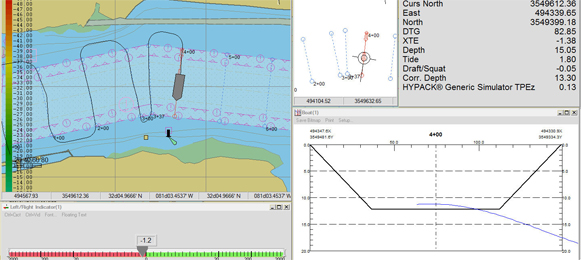
Hypack provides tools to design your survey, collect your data, apply corrections to soundings, remove outliers, plot field sheets, export data to CAD, compute volume quantities, generate contours, create side scan mosaics and create/modify electronic charts.
- Data collection and processing
- Full navigation with AIS integration
- S57 chart update and real-time verification
- Real-time 3D terrain model with AVI recording
Dredgepack™
Dredgepack is designed to save you money. It keeps your crew working in the dredge cut and prevents them from wasting time and money by digging too deep or outside the channel.
- Full navigational and dredging support
- DTM with volumes and reports
- Meets USACE silent inspector requirements


